If you’re staring at a map of Florida Apollo Beach right now, you might notice something weird. Half the "land" looks like a comb. Those long, thin fingers of earth stretching into the water aren't a natural occurrence; they are the result of massive dredging projects from decades ago that turned a swampy coastline into one of the most unique waterfront communities in the Sunshine State.
It’s tucked away. Most people flying into Tampa International or driving down I-75 toward Sarasota zip right past it. They see the towering chimneys of the Big Bend Power Station and keep going. That’s their loss. Apollo Beach is a weird, wonderful anomaly where industrial grit meets luxury canal living.
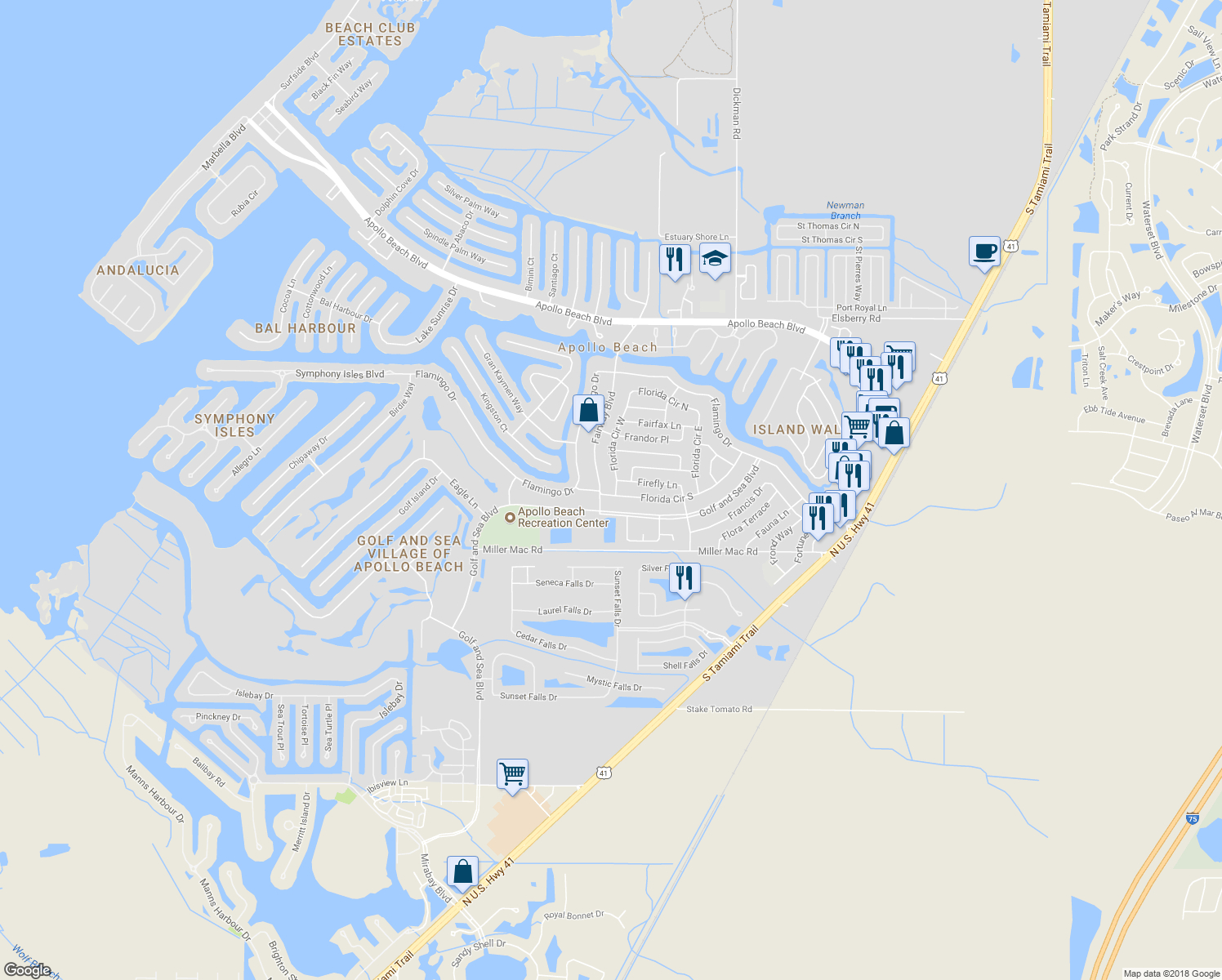
Decoding the Maze: Navigating the Map of Florida Apollo Beach
Looking at the layout, you’ll see the town is basically bisected by Highway 41. To the east, you’ve got newer developments and the rural fringes of Hillsborough County. To the west? That’s where the magic (and the property value) happens.
The residential street names sound like a tropical fever dream—Fairway Drive, Flamingo Canal, Dolphin Cove. But don't let the names fool you. Navigating these canals by boat is actually harder than navigating them by car. If you’re looking at a map of Florida Apollo Beach to plan a fishing trip, you have to pay attention to the depths. Unlike the deep natural harbors of Miami or the wide-open bays of Destin, the water here is often thin.
I’ve seen plenty of newcomers get their hulls stuck in the muck because they didn't realize how quickly the shelf drops—or rises—near the Apollo Beach Nature Preserve.
The preserve itself sits at the very tip of the peninsula. It’s a tiny, two-acre patch of sand that serves as the town’s communal backyard. From here, you can see the Tampa skyline shimmering across the bay like a mirage. It feels a world away, even though you’re only twenty minutes from downtown.
The Manatee Factor
You can’t talk about this area without mentioning the "Sea Cows." On any digital or paper map of Florida Apollo Beach, you'll see a spot labeled the TECO Manatee Viewing Center.
Why here?
Because the power plant uses salt water from the bay to cool its units. That water gets spit back out into the discharge canal at a much higher temperature than the surrounding bay. When the Gulf of Mexico dips below 68 degrees, the manatees flock here. It’s a warm-water sanctuary. It’s honestly one of the strangest sights in Florida: these massive, prehistoric mammals huddling together in the shadow of a massive industrial facility.
The Shifting Geography of South Shore
Apollo Beach isn't the sleepy fishing village it was in the 1970s. The geography is literally expanding. If you compare a 1990 map of Florida Apollo Beach to one from 2026, the density of rooftops is staggering.
The community of MiraBay is a prime example. It’s a 750-acre master-planned community built on what used to be a lagoon. They literally carved out a 135-acre man-made lake. This kind of aggressive terraforming is what defines the region. You aren't just buying a house; you're buying a piece of a carefully engineered landscape.
The "South Shore" area, which includes Apollo Beach and Ruskin, is currently the fastest-growing segment of the Tampa Bay region. This growth brings a specific set of challenges.
- Infrastructure lag (the roads weren't built for this many SUVs).
- Increased demand for dockage.
- Shifting flood zones that make insurance maps look like a Jackson Pollock painting.
Understanding the Flood Maps
Speaking of maps, the most important one you’ll ever look at isn't on Google Maps—it's the FEMA Flood Map.
Most of the waterfront in Apollo Beach is categorized as Zone AE or VE. This isn't just bureaucratic jargon. It dictates whether you can build a ground-floor living room or if your house needs to be on stilts. Local realtors like those at Century 21 Beggins have spent years explaining to frantic buyers why their "dream lot" requires $5,000 a year in insurance premiums.
The risk is real. The town sits at an average elevation of about three feet above sea level. When a tropical storm pushes a surge into Tampa Bay, that water has nowhere to go but up those meticulously carved canals. It's a trade-point: you get a boat in your backyard, but you accept that the bay might occasionally want to come inside for a visit.
Hidden Gems Off the Main Map
If you look closely at the map of Florida Apollo Beach, specifically the southern boundary near the Wolf Branch Creek Nature Preserve, you'll find the spots the tourists miss.
While everyone is crowding the Manatee Viewing Center, the locals head to the creeks. You can launch a kayak at the end of Miller Mac Road and paddle into a world of mangroves that looks exactly like Florida did five hundred years ago. There are no power plants here. No multimillion-dollar mansions. Just snook, redfish, and the occasional alligator wondering why you’re in his territory.
Another spot? Beer Can Island (officially Pine Key). It’s an island in the middle of the bay, just northwest of Apollo Beach. It used to be a spoil island created by dredging. Now, it’s a private club where boaters anchor to spend their Saturdays. It’s not on every standard road map, but every boater's GPS has it marked as a primary destination.
Why the Location Matters for Commuters
People choose this specific coordinate on the map because it’s a strategic pivot point.
- You're south of the Tampa traffic.
- You're north of the Bradenton/Sarasota sprawl.
- You have direct access to the Skyway Bridge.
Basically, you can work in St. Pete and live in Apollo Beach without losing your mind, provided you don't mind the commute over the Gandy or the Howard Frankland. It’s a lifestyle choice. You're trading a shorter commute for the ability to fish at 6:00 PM on a Tuesday.
The Future of the Apollo Beach Waterfront
We are seeing a massive shift in the commercial landscape. For a long time, the map of Florida Apollo Beach was pretty bare when it came to dining and shopping. You had a few staples like Circles Waterfront Restaurant (still the go-to for a sunset dinner) and Finn’s.
Now? The "Apollo Beach Boulevard" corridor is exploding. Developers are eyeing the last remaining chunks of vacant land for mixed-use projects.
There's a constant tension here between the "Old Florida" crowd who wants to keep the town quiet and the new wave of residents who want a Starbucks on every corner. The map is becoming more crowded, but the draw of the water remains unchanged.
Actionable Insights for Navigating the Area
If you are planning a visit or a move, don't just trust a basic GPS. You need to understand the layers of the land.
- Check the Tides: If you are renting a boat to explore the canals, a low tide can turn a 4-foot deep channel into a 1-foot mud trap. Use an app like Saltwater Tides and sync it to the "Big Bend, Hillsborough Bay" station.
- Visit the Preserve Early: The Apollo Beach Nature Preserve has limited parking. If you aren't there by 9:00 AM on a weekend, you aren't getting in.
- Look Beyond the Shoreline: Use satellite imagery to find the "hidden" sandbars. There’s a popular one just south of the TECO plant where the water stays waist-deep for hundreds of yards.
- Consult the Hillsborough County GIS: If you're looking at property, use the county’s Geographic Information System. It’s a public map that shows property lines, easements, and historical permits. It’s much more accurate than Zillow.
The map of Florida Apollo Beach is a living document. It’s a testament to human engineering and the relentless pull of the Gulf of Mexico. Whether you're there to watch the manatees or find a permanent home on a canal, understanding the layout—the depths, the zones, and the secret spots—is the only way to truly experience it.
Start by parking your car at the Nature Preserve at sunset. Look west toward St. Pete and north toward Tampa. You’ll see exactly why people fight so hard to keep this little slice of the bay a secret.
Next Steps:
- Download a local nautical chart if you plan on being in the water; the shoals near the Big Bend channel are notoriously shifty.
- Visit the TECO Manatee Viewing Center between November and April to see the highest concentration of manatees.
- Cross-reference the current FEMA flood maps with any property you're considering to understand the long-term cost of living on the water.